By Moana Ellis, Local Democracy Reporting
A Whanganui River iwi entity says the speed of a river mapping project came down to a government agency recognising an iwi inquiry as a shared problem.
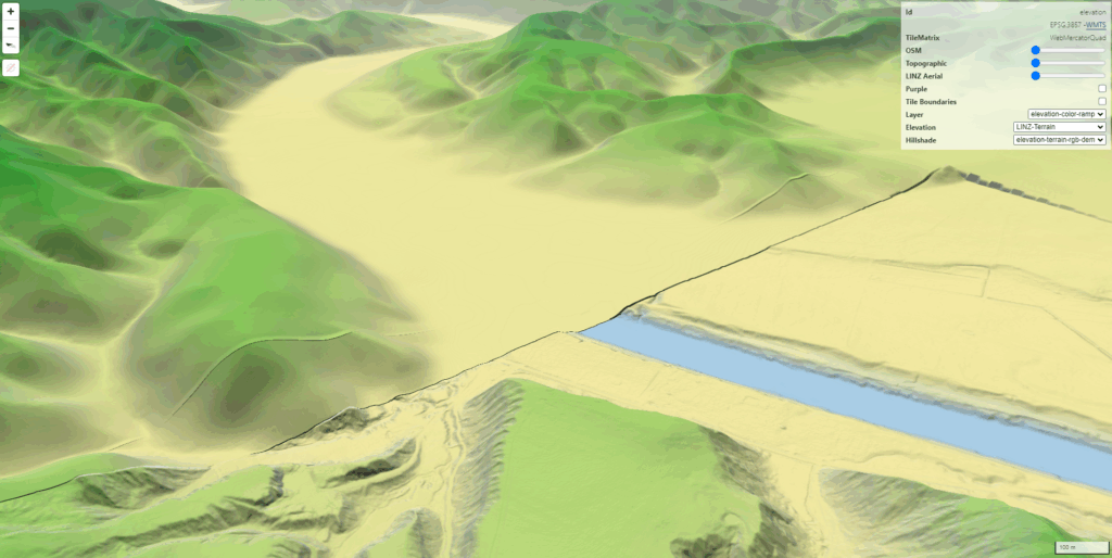
In July 2024, Ngā Tāngata Tiaki o Whanganui (NTT) wrote to the Commissioner for Crown Lands asking why the Whanganui River catchment was one of the few remaining regions in the North Island without LiDAR coverage.
LiDAR is a laser-based mapping technology that produces precise 3D models of the landscape.
NTT’s inquiry led to Bjorn Johns, principal geospatial specialist for Toitū Te Whenua Land Information New Zealand (LINZ), who helped turn the query into a national data asset.
“From the beginning, LINZ didn’t treat this as someone else’s problem,” NTT kaihautū Nancy Tuaine said. “They were right alongside us, figuring out how to get it done. That’s what a good relationship with the public service should look like.”
Early trust opened up LINZ’s systems and support for NTT to lead the work, unlocking faster decisions and better outcomes, Tuaine said.
The approach removed barriers and accelerated delivery of nationally significant flood, hazard and planning data. The project was completed within about 12 months, from inquiry to delivery.
“The relationship was the difference. When iwi are recognised as capable partners, and the agency frees up their expertise with a genuine willingness to help, things move,” Tuaine said.
The long-awaited data can now be used in applications for planning and hazard management for floods and landslides, archaeology and other needs across the region.
“The real measure of success now is seeing the data used by iwi, councils, landowners and communities across the entire Whanganui River catchment,” Tuaine said.
LiDAR across the 7400 km2 Whanganui River basin would also generate direct benefits to iwi Māori, including enhanced ability to develop the potential of Whenuā Māori land.
The new data could also identify possible access routes for landlocked whenua.
LINZ principal geospatial specialist Bjorn Johns said the project moved quickly because of an action-oriented approach by all involved.
The iwi inquiry coincided with a narrow funding window that required decisive action across agencies.
“We saw an opportunity for NTT to join the PGF-LiDAR partnership programme, but since that programme was winding down this would require quick action and commitment from LINZ, MBIE and NTT,” Johns said.
“LINZ and MBIE put their heads together to see what was possible.”
He said trust in NTT’s leadership allowed central government to move at pace. That translated into practical decisions early, including moving swiftly into procurement.
Working alongside NTT relied on clear roles and confidence in each other’s strengths, and LINZ’s experience and strong relationships across agencies made the 12-month turnaround possible.
With the data now public, success would be measured by its use and long-term value for environmental applications in the catchment, Johns said.
He said the project had also been personally rewarding.
“It has been really rewarding to be involved with mapping such a diverse area from the Taranaki Bight to the summit of Ruapehu maunga and into King Country.”
Awa FM – Te Reo Irirangi o Whanganui
For more of our people, our stories, our way, click News or follow us on Facebook.